
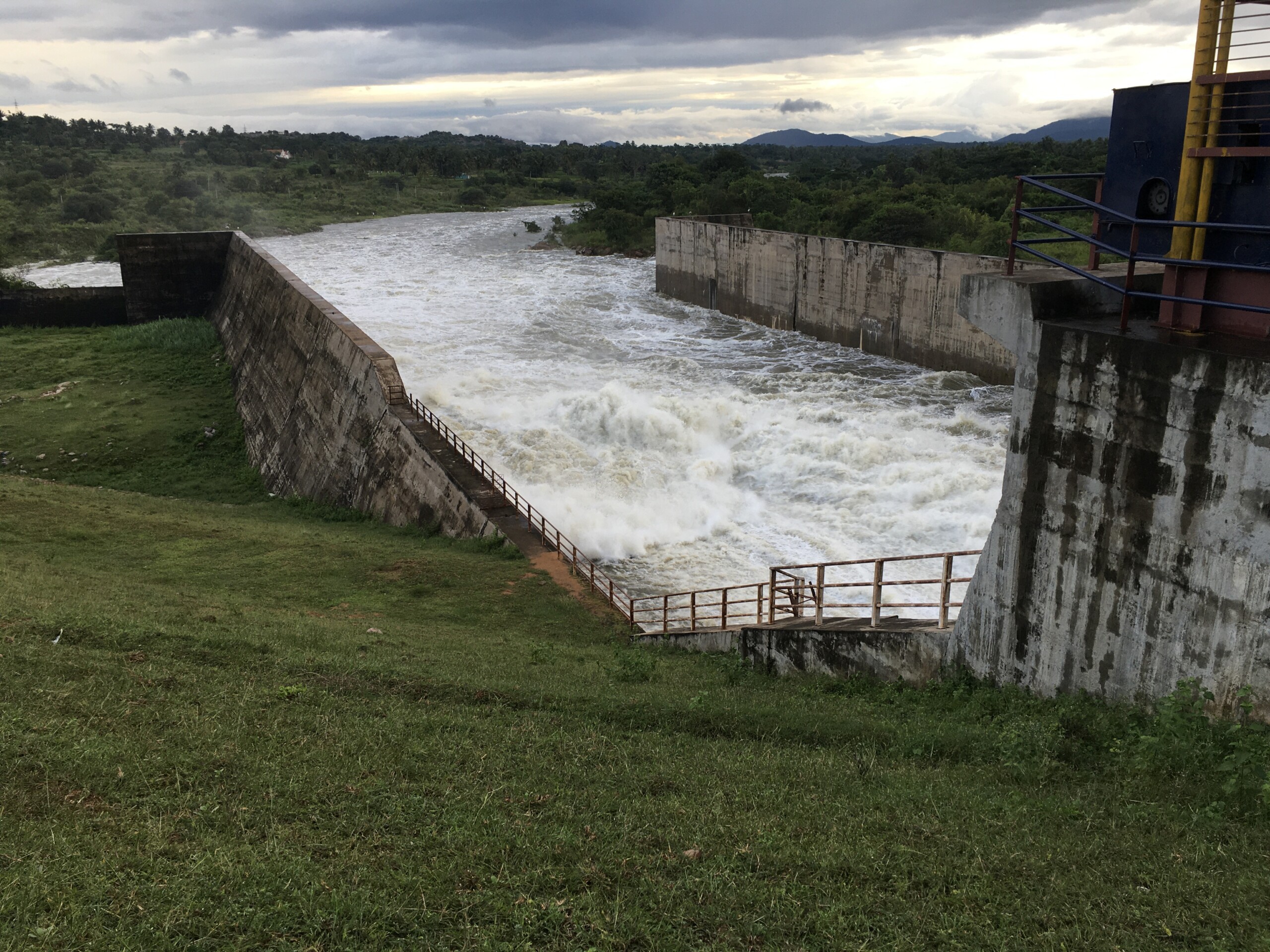
ARKAVATHI
The Arkavathi originates in Nandi Hills and flows through Bengaluru Rural, Bengaluru Urban and Ramanagara before it joins the Cauvery River at Sangama
LEARN MORE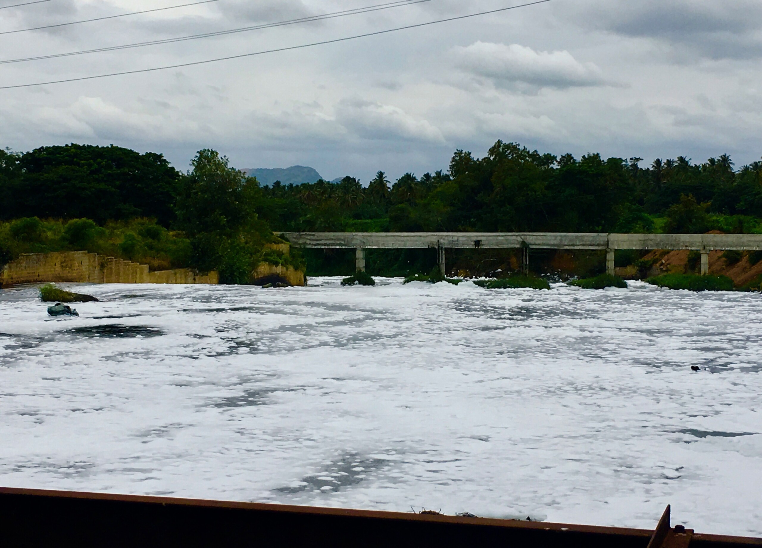
VRISHABHAVATHI
The Vrishabhavathi originates in Bengaluru and flows through Bengaluru Urban and Ramanagara districts before joining the Arkavathi River upstream of Kanakapura
LEARN MORE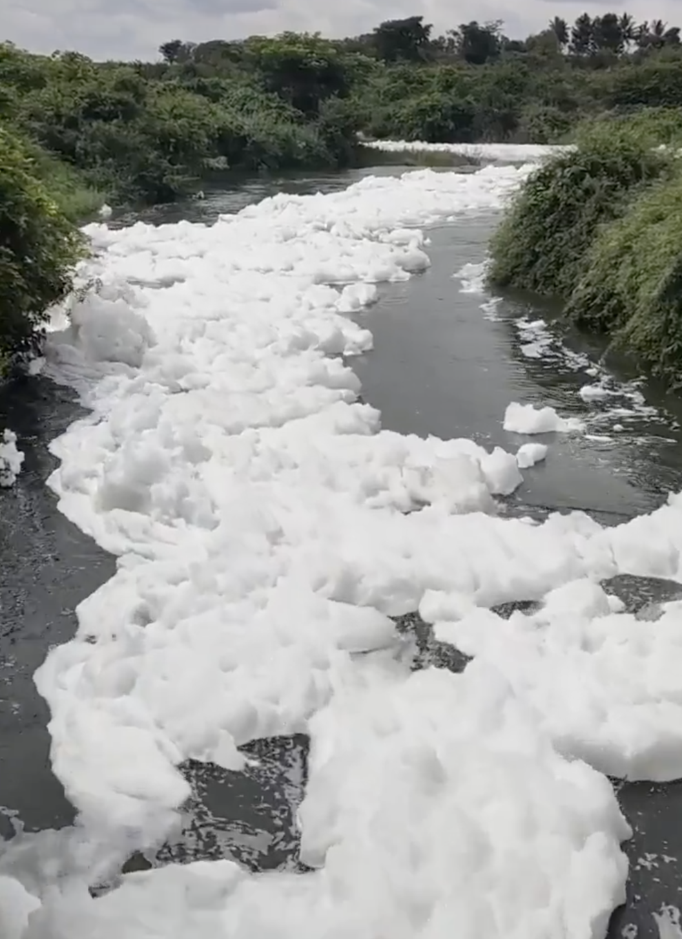
DAKSHINA PINAKINI
The Dakshina Pinakini originates in Nandi Hills and flows through Bengaluru Urban and Bengaluru Rural Districts before flowing into Tamil Nadu and eventually into the Bay of Bengal
LEARN MORE