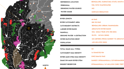
In a Nutshell
A summary representation of Vrishabhavathi river
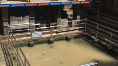
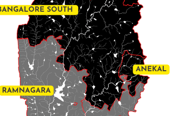
River Origin & Confluence
A note on river origin and confluence
Groundwater status
Gives data on state of groundwater
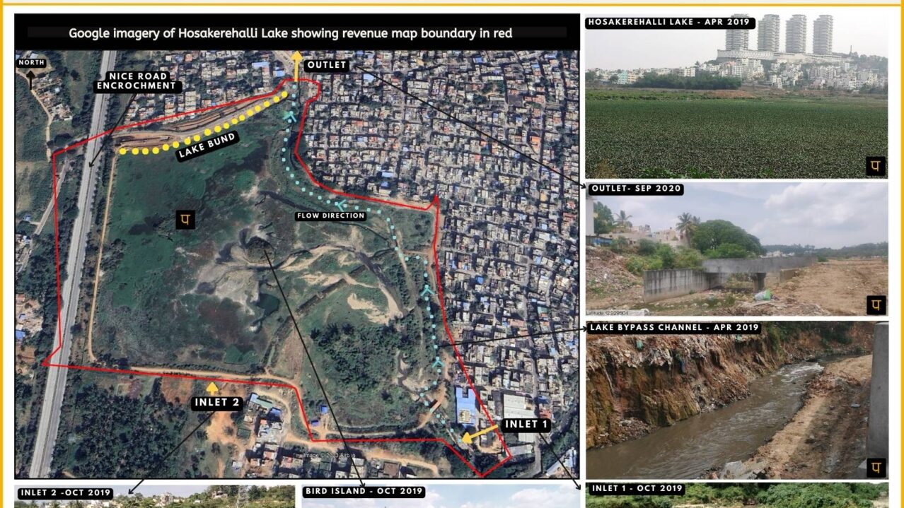
Hosakerehalli Lake Profile
Data and analysis of Hosakerehalli lake
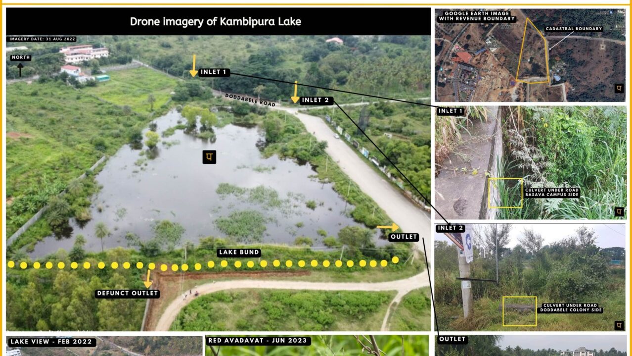
Kambipura Lake Profile
Data and analysis of Kambipura lake

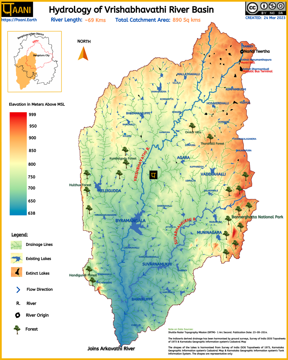
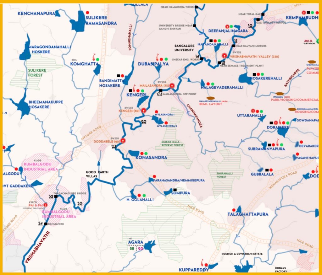
RIVER BASIN

DAMS & FLOW

POLLUTION

GROUNDWATER

STRAWS

BIODIVERSITY

RAINFALL FLOODS & DROUGHT

RESTORATION

