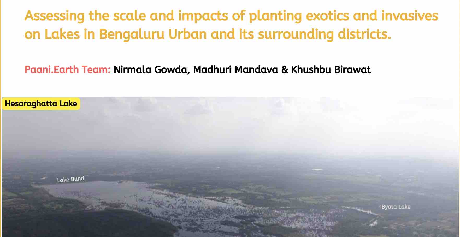
Report
Assessing scale and impacts of planting exotics and invasives on Lakebeds.
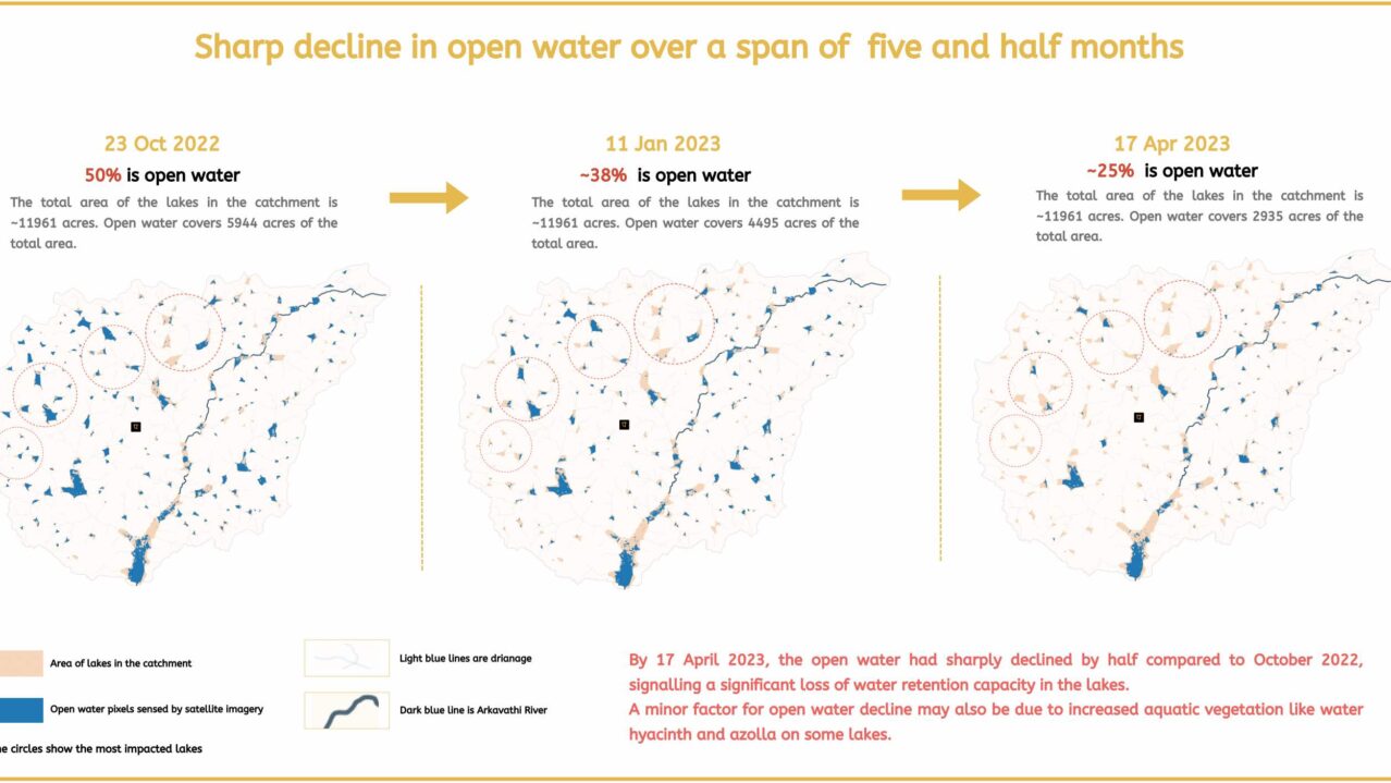
Open Water Decline
A remote sensing analysis of open water decline in the catchment .
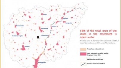
Fragmentation of Open Water
A remote sensing analysis of open water fragmentation
Assessing scale and impacts of planting exotics and invasives on Lakebeds.
A remote sensing analysis of open water decline in the catchment .
A remote sensing analysis of open water fragmentation
