Waterbodies of Hesaraghatta Lake Catchment
Created Date: 29 Aug 2024
Hesaraghatta Lake is historically significant as the first official water supply source for Bangalore city. Established in 1894, it dried up completely in 1922 and has remained mostly dry since 1980. For the past several decades, it has not served as a drinking water supply source for Bengaluru city.
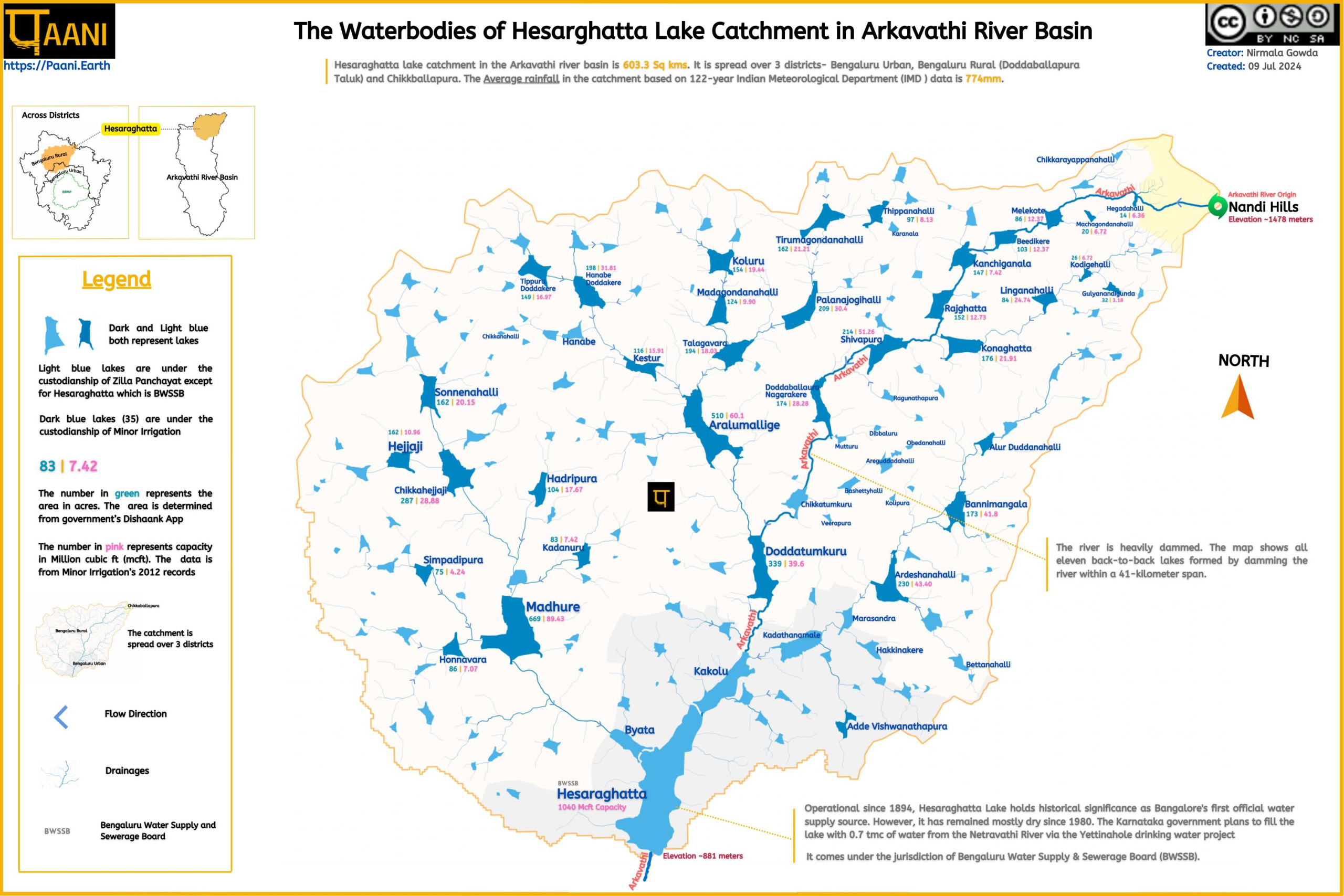
Hesaraghatta Lake catchment in the Arkavathi river basin is 603.3 Sq kms. It is spread over 3 districts- Bengaluru Urban, Bengaluru Rural (Doddaballapura Taluk) and Chikkballapura. The average rainfall in the catchment, based on 122 years of Indian Meteorological Department (IMD ) data, is 774mm.
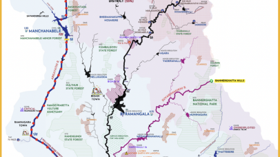
The map below depicts the drainage along with the lakes of the catchment. The map marks lakes under the custodianship of Minor Irrigation and Bengaluru Water Supply and Sewerage Board (BWSSB). The rest of the lakes come under the purview of Zilla Panchayat.
Click image to load the map.
The area (in acres) and capacity (in mcft) of the Minor irrigation lakes are mentioned. We calculated the area of the lakes from Karnataka state’s digitised land records (Cadastral) database, as shown in the Dishaank App. The data in the Dishaank App is based on a pre-1930 survey.
The capacity data is from the 2012 Minor irrigation records. It is unclear when the survey was done to determine the capacity. The lakes in the catchment are heavily silted and have become shallow, so the capacity data is irrelevant.
The big urban establishment in the Hesaraghatta Lake catchment is the Doddaballapura City, with a population of 9.3 Lakh (2011 Census). The city’s total water requirement is 6.5 MLD, sourced from approximately 80 borewells. Depending on water availability, water is also sourced from Jakkalamadagu Reservoir, near Chikkballapura Town (Source: NGT South Zone O.A. No. 104 of 2022)
The city’s underground drainage directly leads to the lakes on the Arkavathi river course. Raw sewage mixed with industrial effluents (mostly textile dyeing) gets drained into Doddaballapura Nagarakere and Chikkatumkuru Lake.
Some wastewater from the underground drainage leads to the 12 million-liter-per-day capacity Sewage Treatment Plant (STP) on the Chikkatumukuru lakebed (which is on the Arkavathi river course). This STP is based on the oxidation pond treatment method and operates partially, polluting Chikkatumukuru Lake and the Arkavathi River. As the lake overflows, all the downstream lakes, including Hesaraghatta Reservoir gets polluted.
The Karnataka government is spending thousands of crores on the Yettinahole project to bring 0.7 TMC of water from the Netravathi River, 280 km away, to Hesaraghatta Lake. However, this water will end up contaminated with the pollution from the upstream lakes unless pollution control measures are implemented.

Report
Assessing scale and impacts of planting exotics and invasives on Lakebeds.
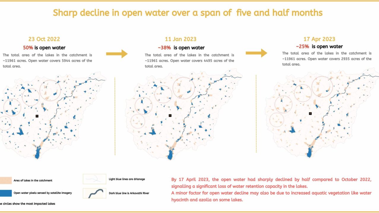
Open Water Decline
A remote sensing analysis of open water decline in the catchment .
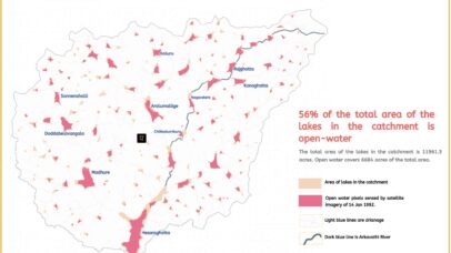
Fragmentation of Open Water
A remote sensing analysis of open water fragmentation
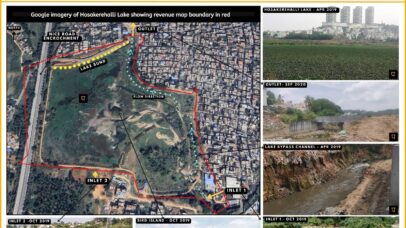
Lake Profiles
Click here to see the Hesaraghatta and other lake profiles
Arkavathi River Basin
A repository of maps, data and analysis on Arkavathi River Basin
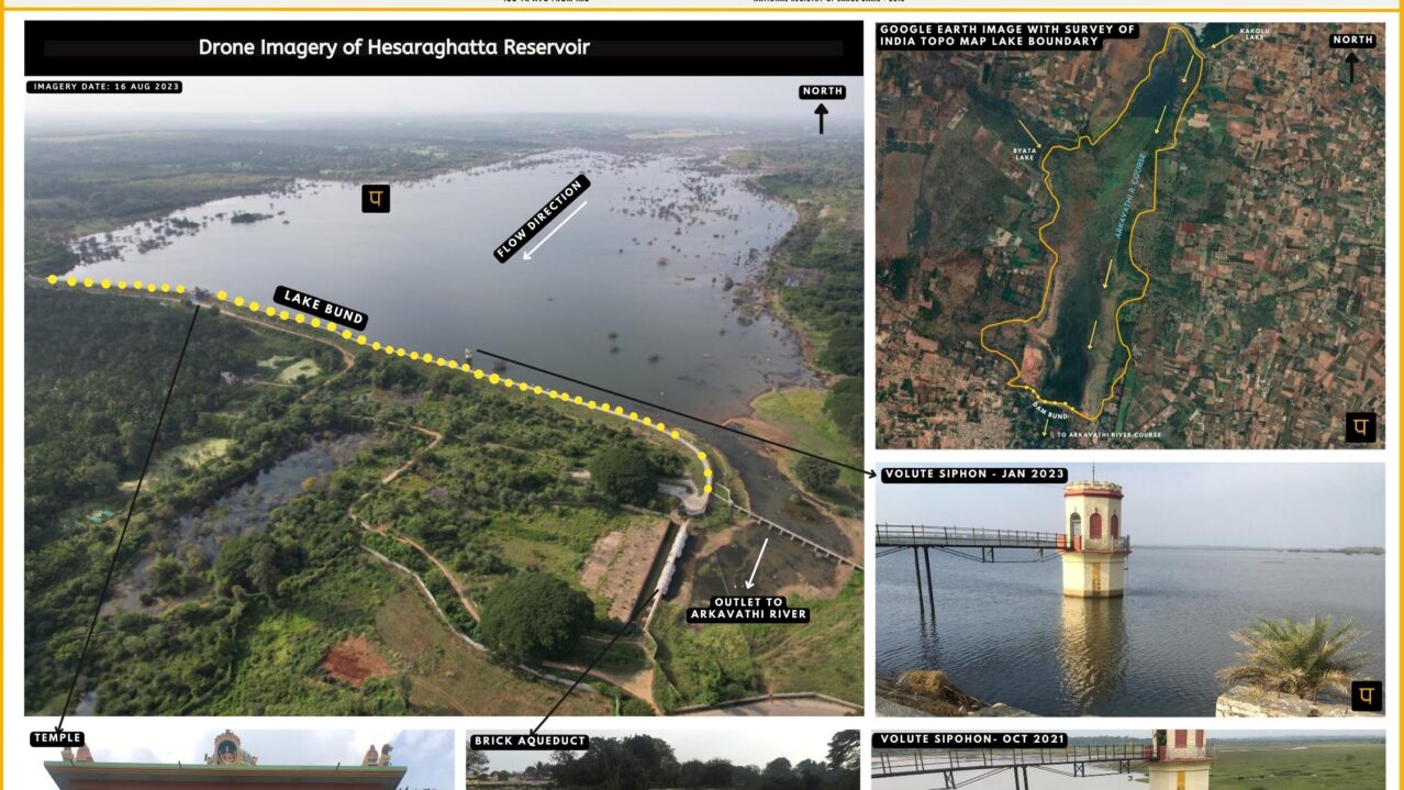
All about Hesaraghatta Lake Catchment
Data & analsysis of all things related to Hesaraghatta reservoir & catchment

RIVER BASIN

DAMS & FLOW

POLLUTION

GROUNDWATER

STRAWS

BIODIVERSITY

RAINFALL FLOODS & DROUGHT

RESTORATION


